Our Portfolio
Discover our recent aerial mapping, surveying, and creative drone missions across Sierra Leone.
Project Highlights
Each project represents our commitment to precision, innovation, and storytelling through the power of aerial data.
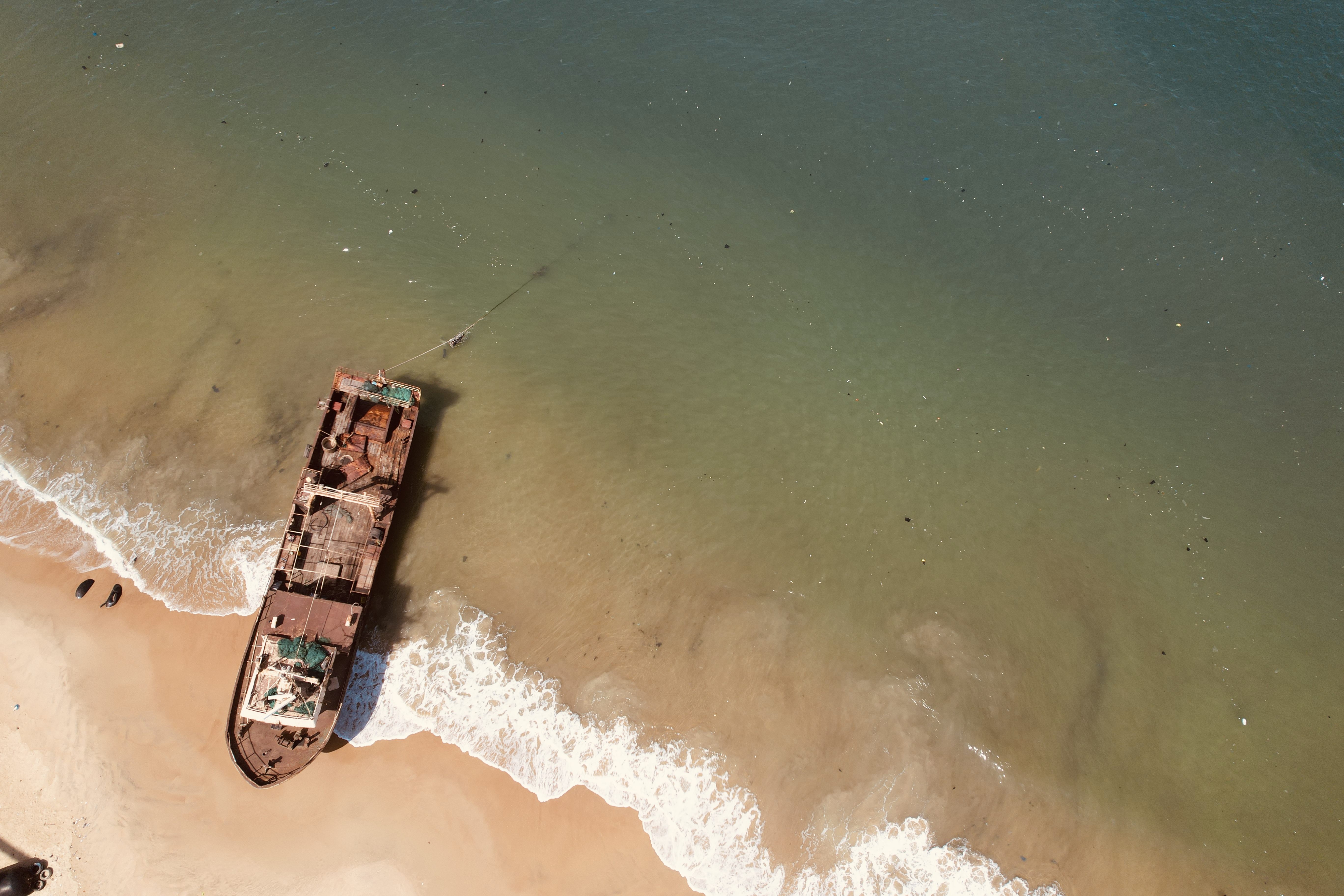
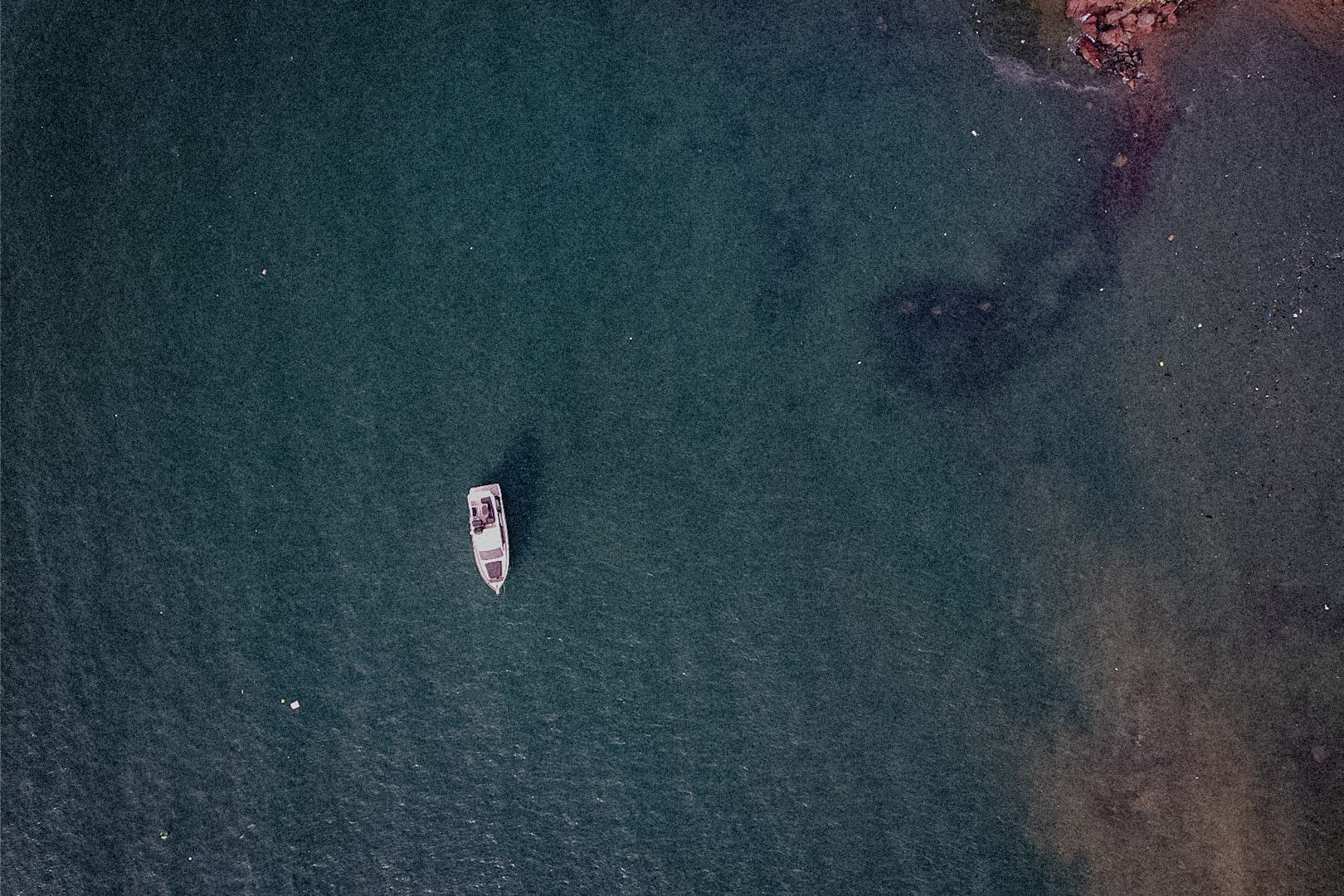
Tap to view full image
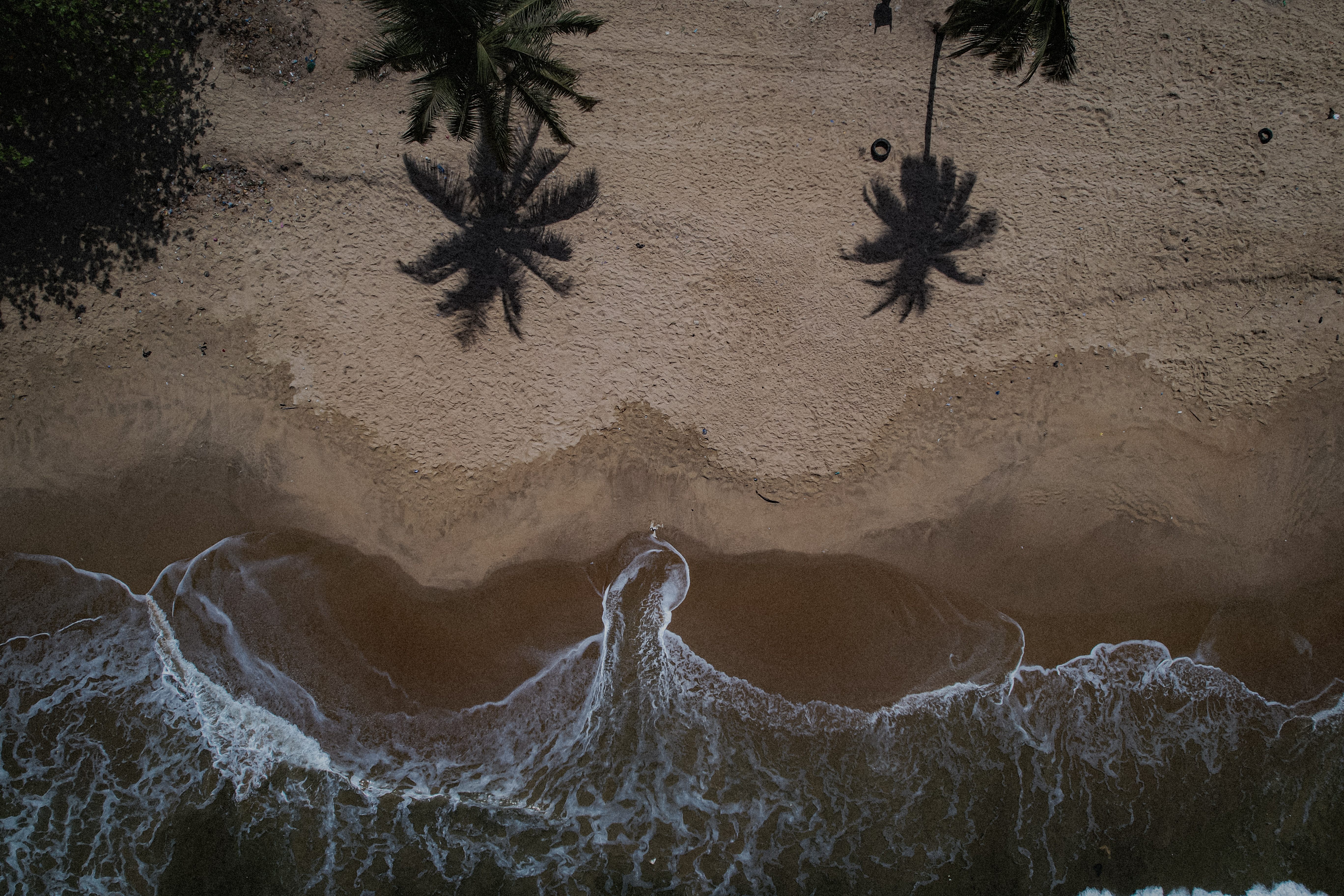
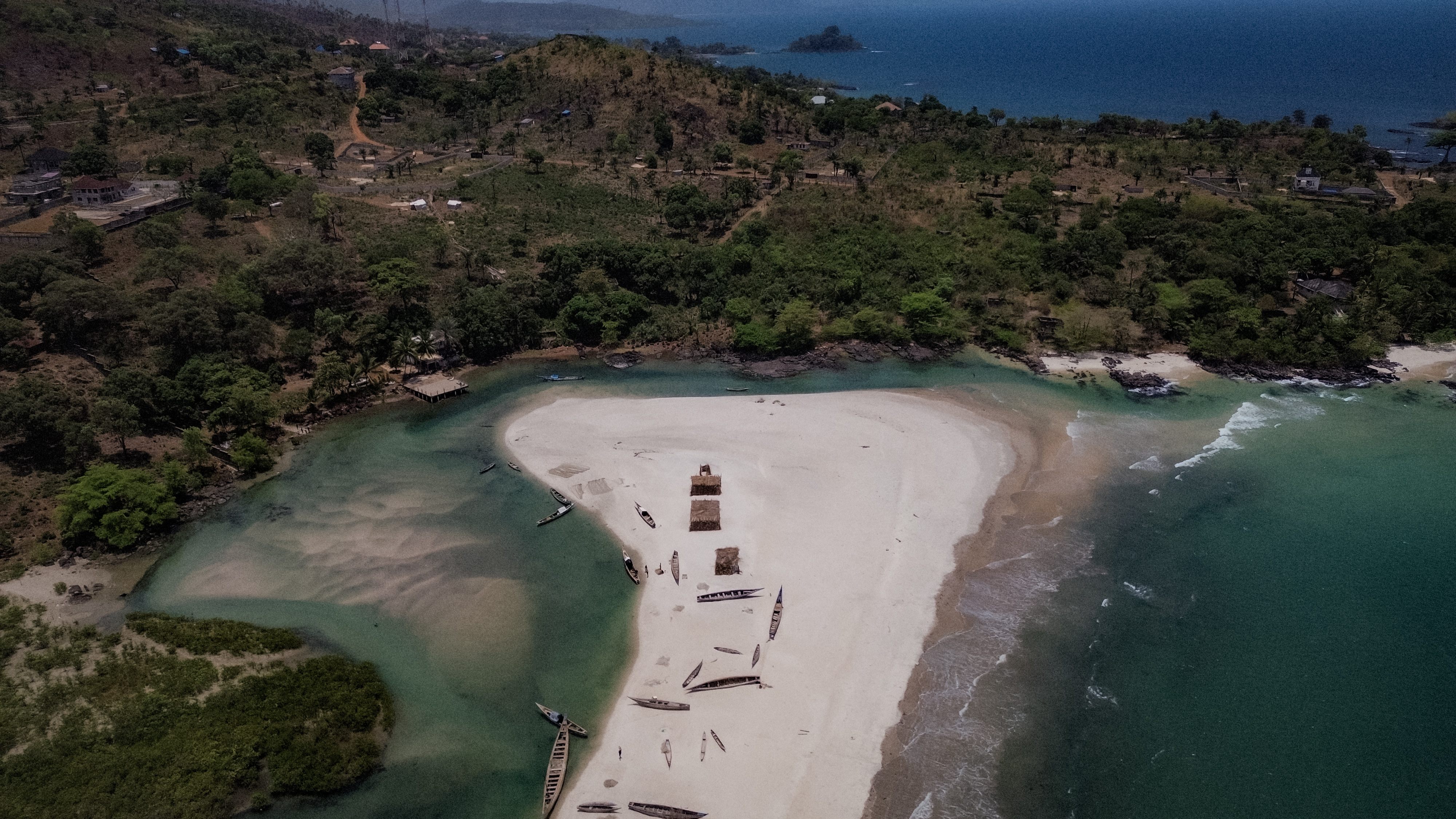
Tap to view full image
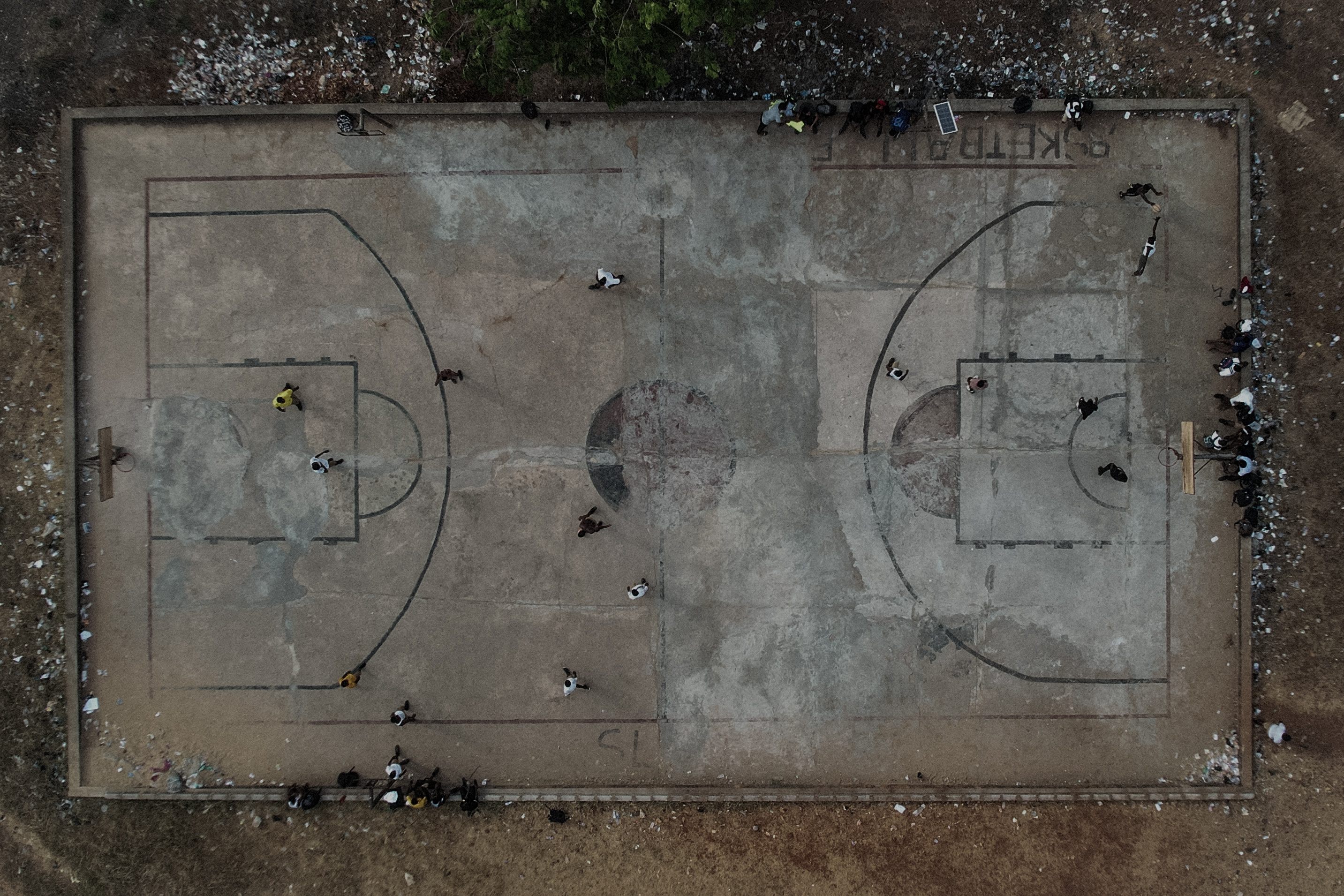
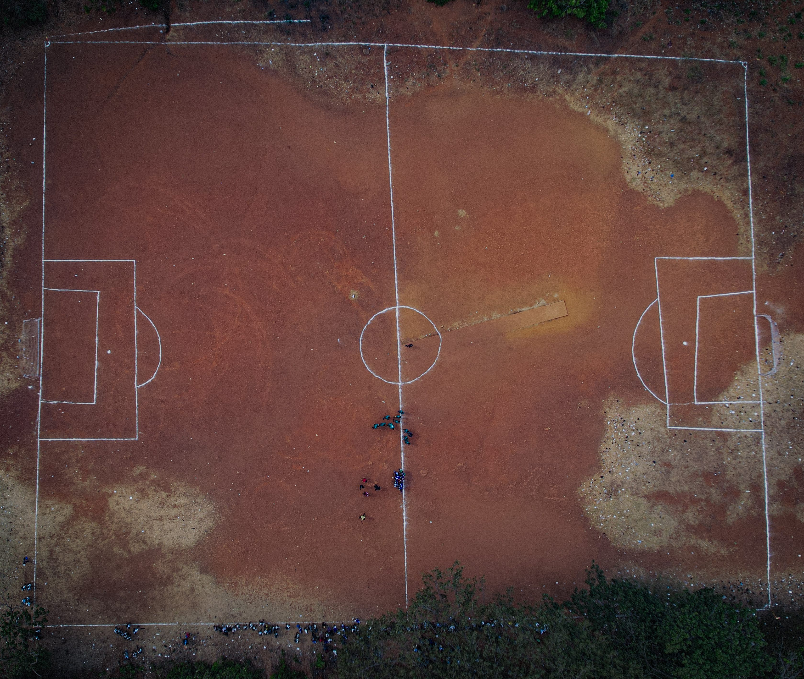
Tap to view full image
Tap to view full image
Tap to view full image
Tap to view full image
Let's Elevate Your Next Project
Whether it’s mapping, inspection, or creative production — Captured GeoTech delivers perspective with precision.
Get In Touch