
About Us
Transforming aerial imagery into actionable intelligence for smarter, more sustainable decisions.
Drone Captured Geo Tech
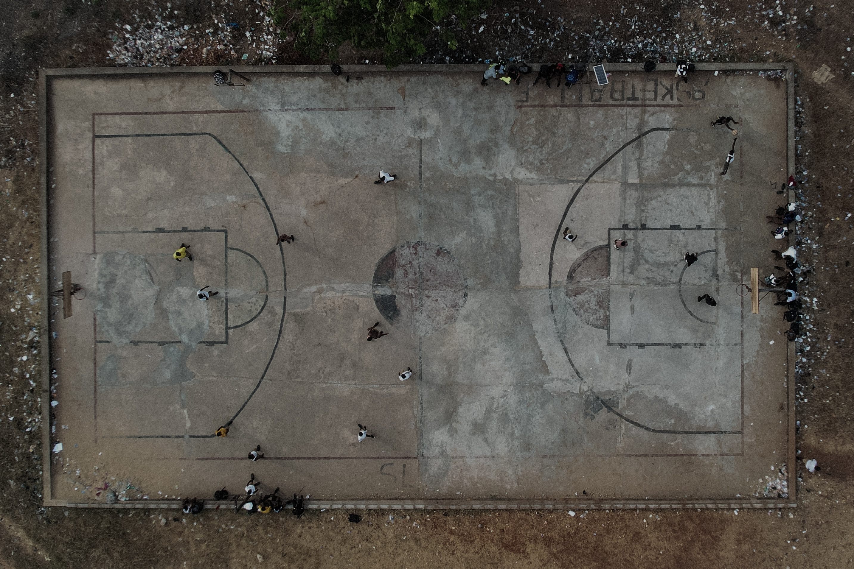
Drone Captured Geo Tech uses drone technology to capture high-quality data for land and area surveys, mapping, urban planning, agriculture, and environmental monitoring. We transform aerial imagery into accurate 2D and 3D maps that help communities, companies, and governments make smarter, more sustainable decisions for the future.
Our mission is to bridge the gap between technology and terrain — delivering data that drives development, planning, and resource management with precision and purpose.
Our Core Services
Aerial Mapping & Surveying
High-resolution aerial mapping for land, construction, and industrial projects across Sierra Leone.
2D & 3D Mapping
Transforming aerial images into precise 2D maps and 3D terrain models for visualization and planning.
Agricultural Surveys
Providing crop health analysis and farm mapping to optimize agricultural productivity and sustainability.
Construction & Real Estate Surveys
Accurate topographic and structural surveys to assist architects, engineers, and real estate developers.
Commercial Advertising
Captivating aerial footage and visuals that elevate brand storytelling for businesses and media campaigns.