Drone Capture

Precision Drone Mapping & Surveying

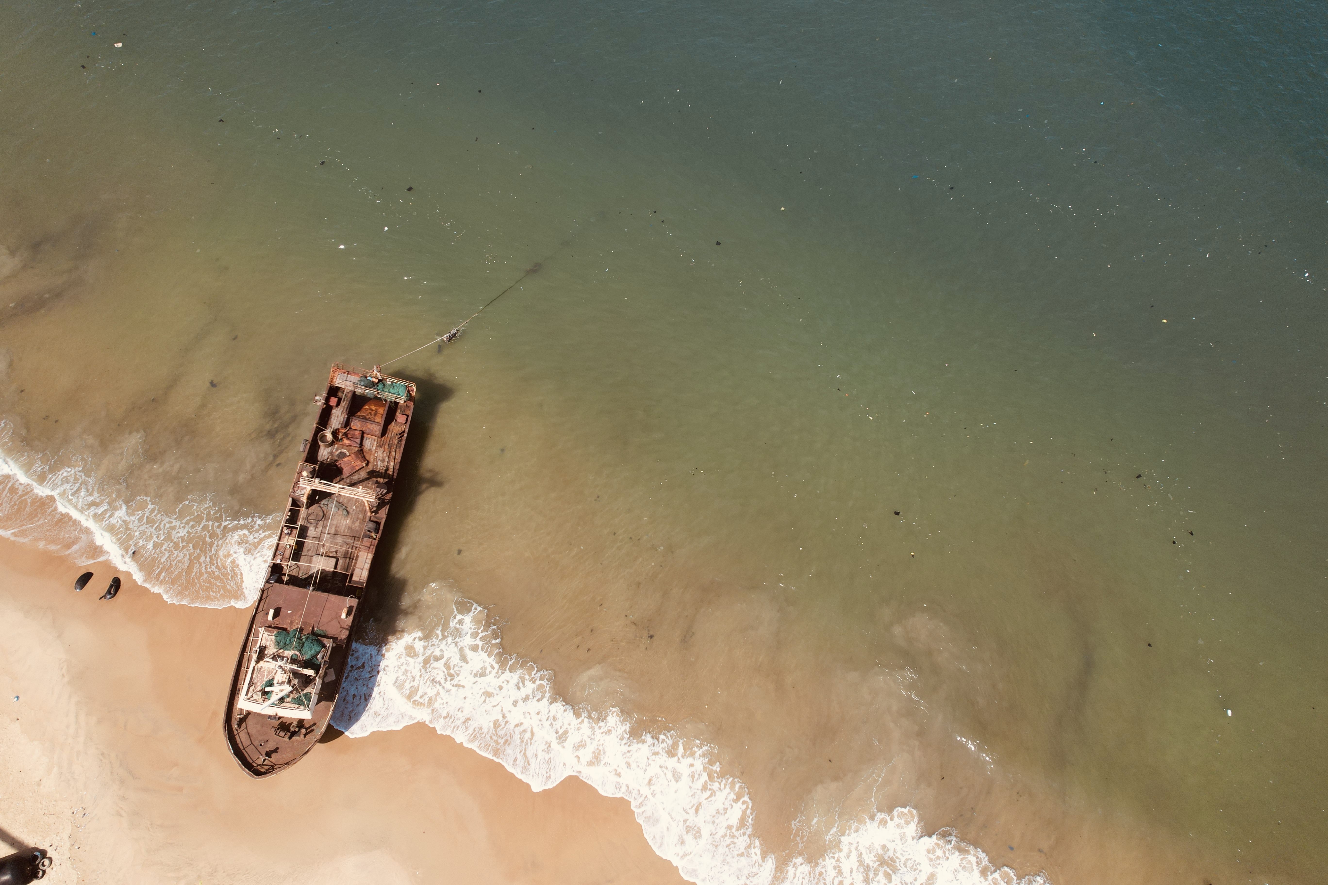
We capture stunning aerial data that transforms how you see the world.

Hire Us

About Us

Drone Captured Geo Tech uses drone technology to capture high-quality data for land and area surveys, mapping, urban planning, agriculture, and environmental monitoring.

Learn More
About Drone Survey

Our Services

Aerial Mapping

Aerial Mapping

High-resolution drone surveys for precise topographic and site data.

2D & 3D Modeling

2D & 3D Modeling

Generate detailed orthomosaics and 3D models for technical projects.

Agricultural Insight

Agricultural Insight

Monitor and analyze crop zones across large plantations with precision.

Construction Survey

Construction Survey

Visualize development progress and site layout using drone imagery.

Real Estate Promotion

Real Estate Promotion

Create stunning aerial footage and visuals for property listings.

Contact Us

Let’s Work Together

Reach out for tailored drone mapping, inspection, or creative projects.

Get In Touch

Portfolio Highlights

View Portfolio

Need Professional Drone Shots?

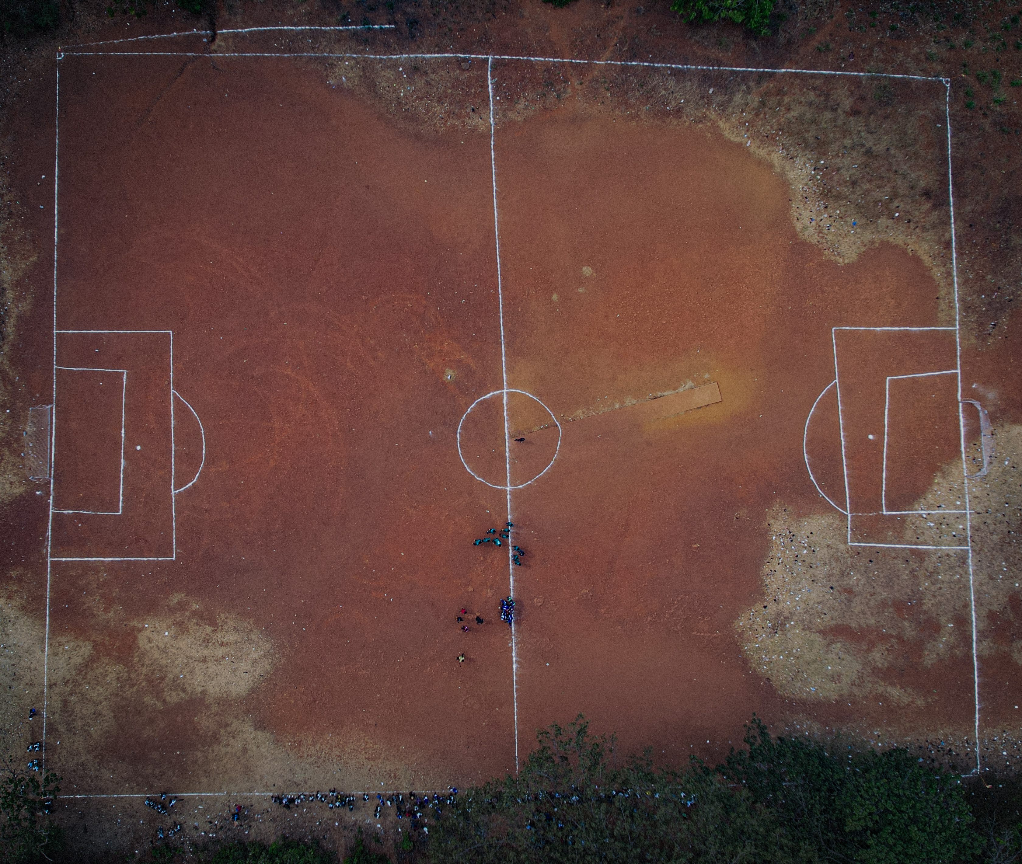
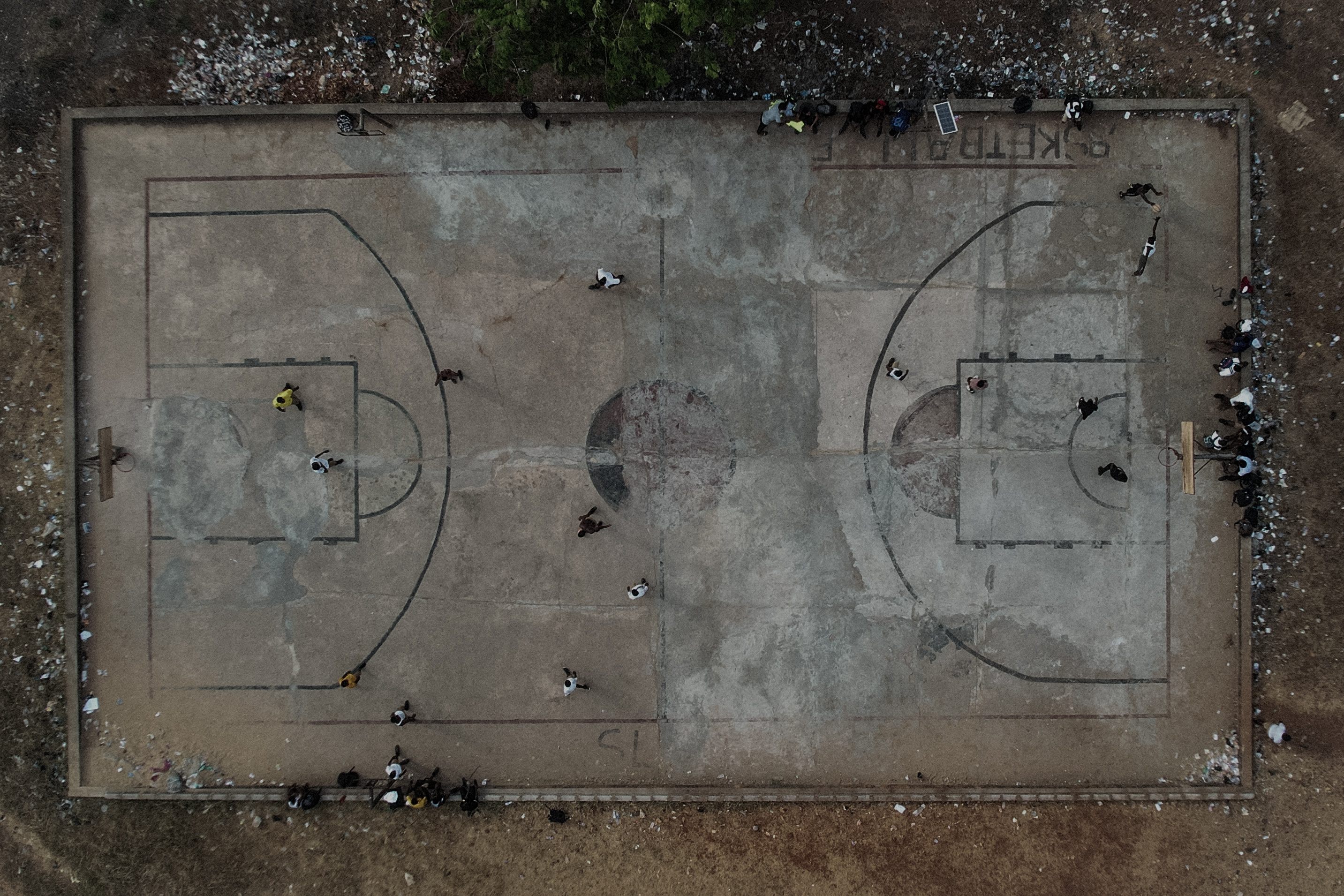
From land surveying to marketing visuals — we capture perfection from above.

Get In Touch